Fully refundable up to 30 days before departure. Secure payment via Stripe

5/5 Reviews
Upper Dolpo Trekking
Kathmandu-Nepalgunj- Juphal- Chekpa- Ringmo- Lar Tsa- Shey Gompa- Karang- Shimen- Rakpa- Norbulung- Sanga Phedi- Dhagarjun- Jomsom- Pokhara- kathmandu
Trek Area
Restricted Area Trekking

Duration
28 Days

Suitable Season
March - June, September - December

Difficulty level
Moderate

Highest Altitude
5460m

Group Size
from 2 Person & above

Trip Starts/Ends
Kathmandu

Nights Spent
4

Walking Hours
4- 7 hrs

Accommodation
Hotels in Cities, Lodges/Guest Houses or camping in trek

Meal
Breakfast in City & all meals during Trekking

Transport
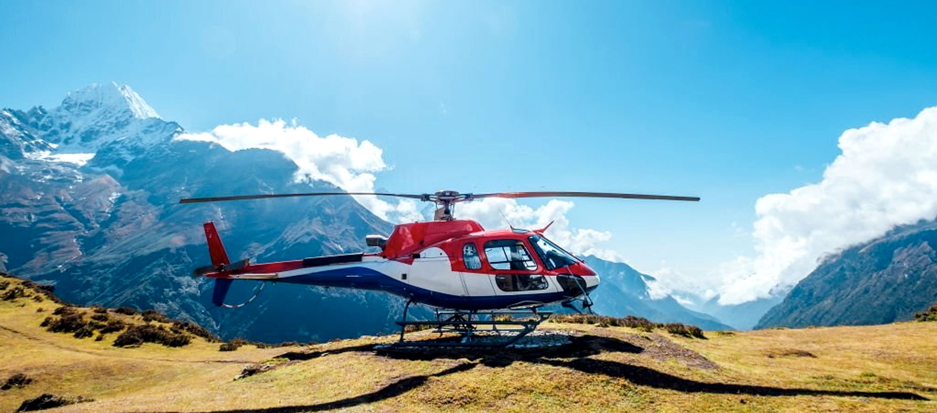
Private Comfortable Car/van/Hiace/tourist bus or domestic Flights Best Travel season: March - June, September - December
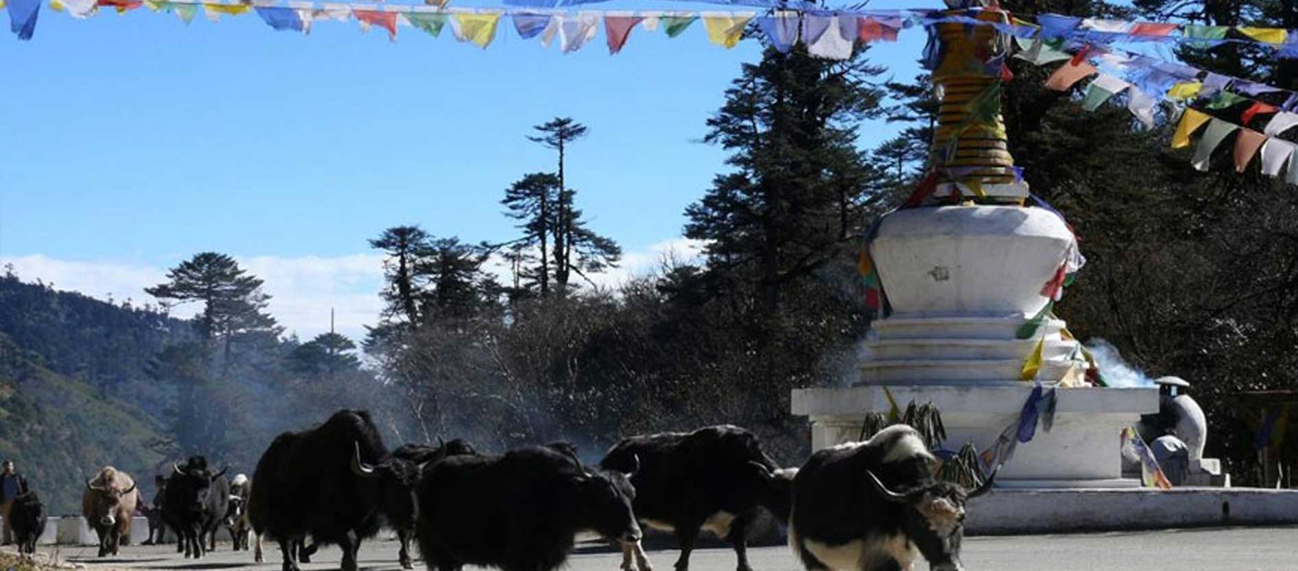
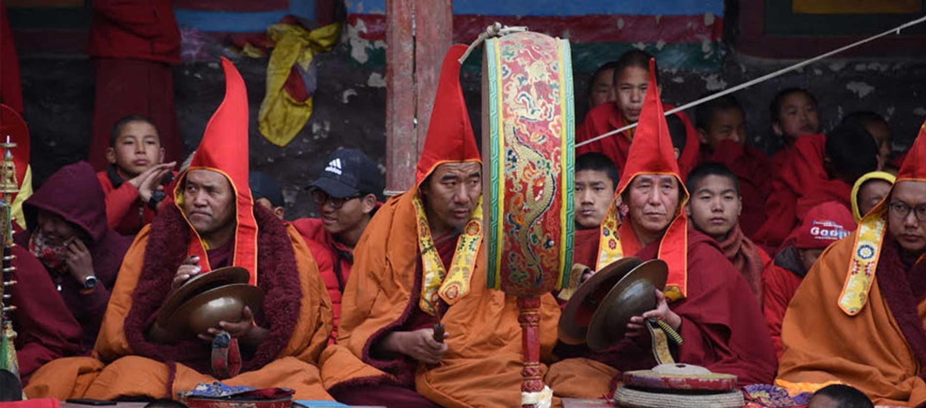
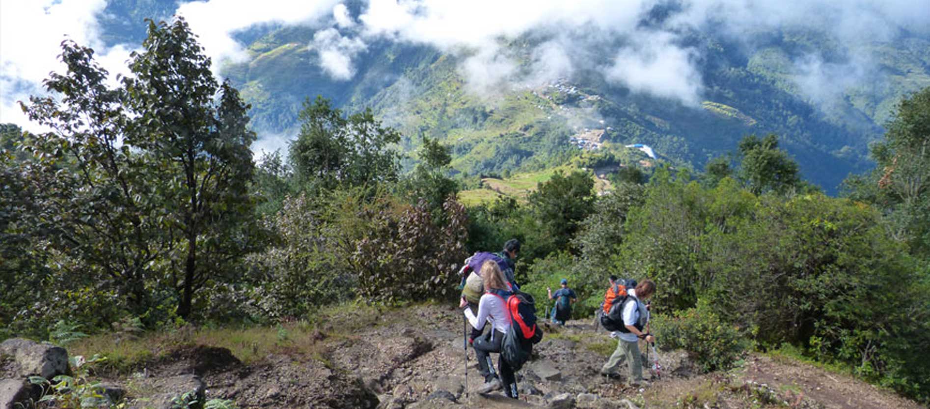
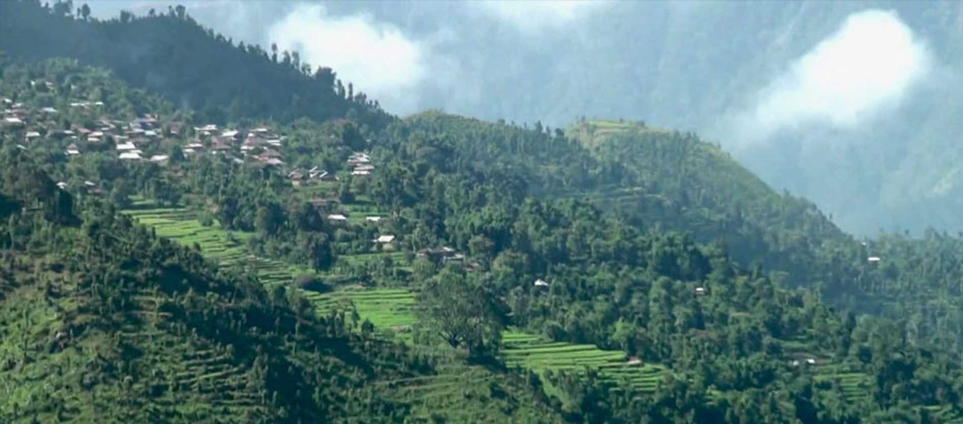
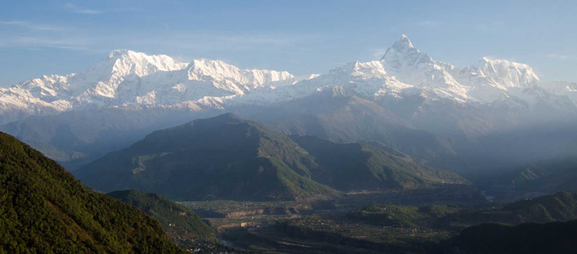
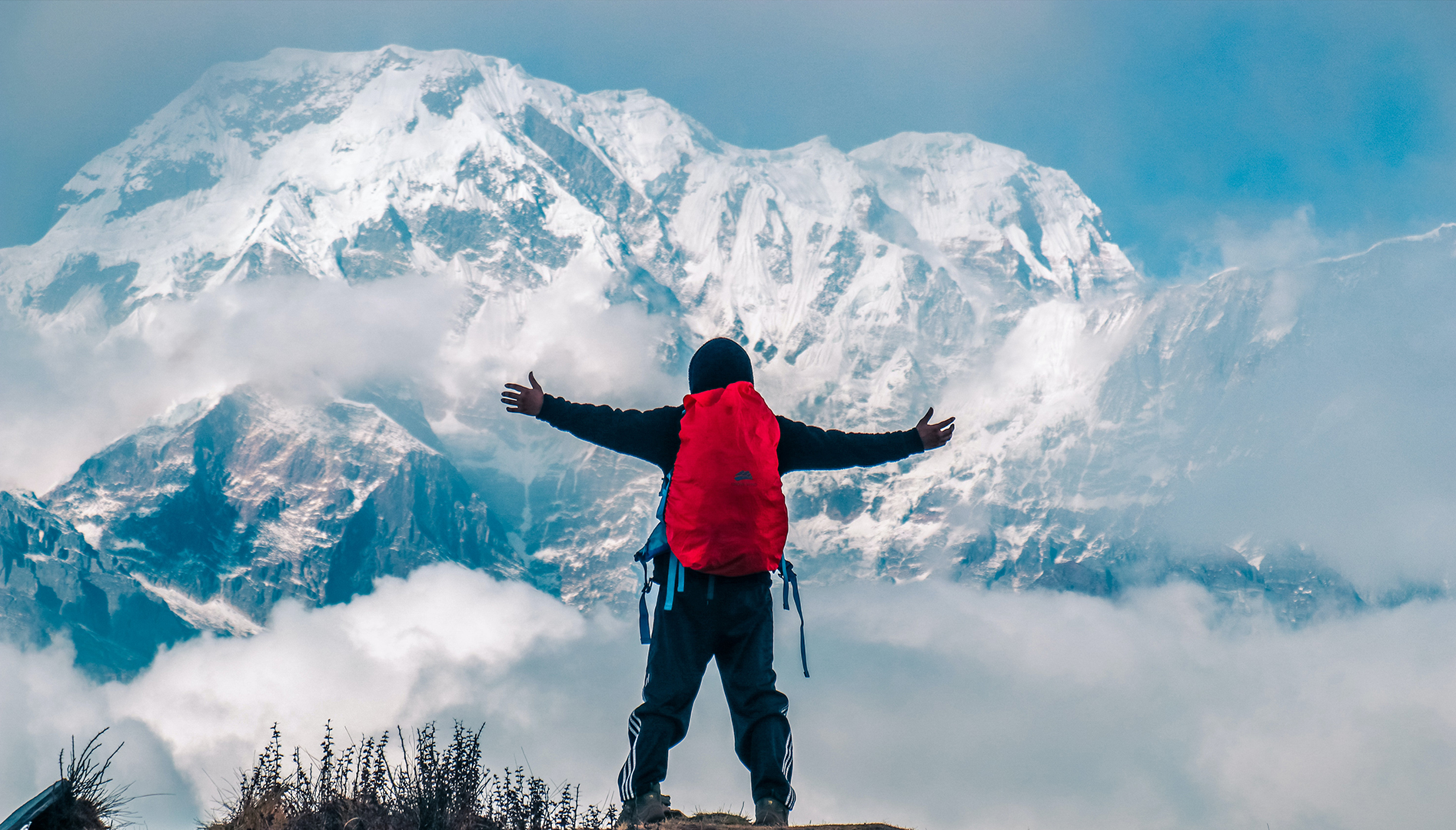
Upper Dolpo trekking is out-of-the-way and hidden trek destination in Nepal and is situated mid-western region of Nepal inside the Shey – Phoksundo National Park, behind Mt. Dhaulagiri and near Tibet border. Upper Dolpo region is falls within Nepal but ethnically it is associated to Tibet. Dolpo is a region embraces a number of Buddhist monasteries plus those of pre-Buddhist belief of Bon Po. The region has preserved ultimate leftovers of long-established Tibetan culture. We elevate approximately up to 5000m while trekking to Upper Dolpo region.
Before 1989 this region was restricted area for the foreigner and was detached and hidden from the outer world. Since 1989, Upper Dolpo region has been introduced as a natural compilation of passes far above the ground, exceptional fauna, and eye-catching scenery which is boosted by the ancient Tibetan cultural heritage. The trekkers who are fascinated to trek to Upper Dolpo region must take aid from trekking agencies to get the trekking permit.
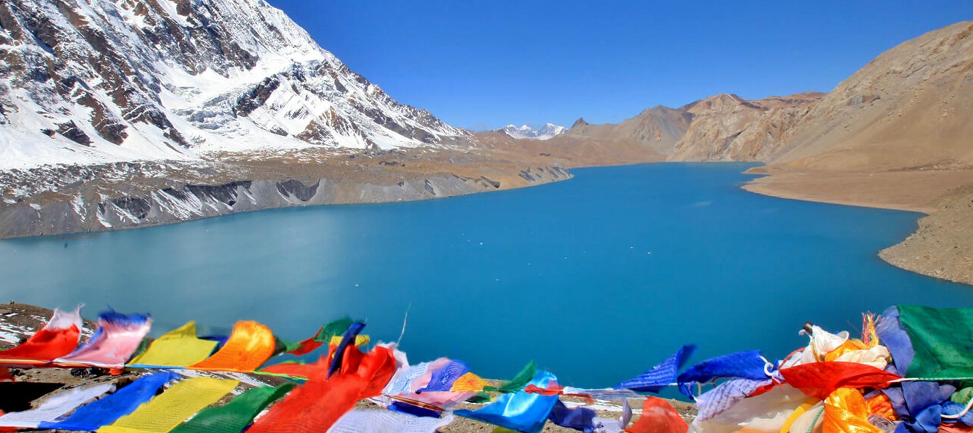
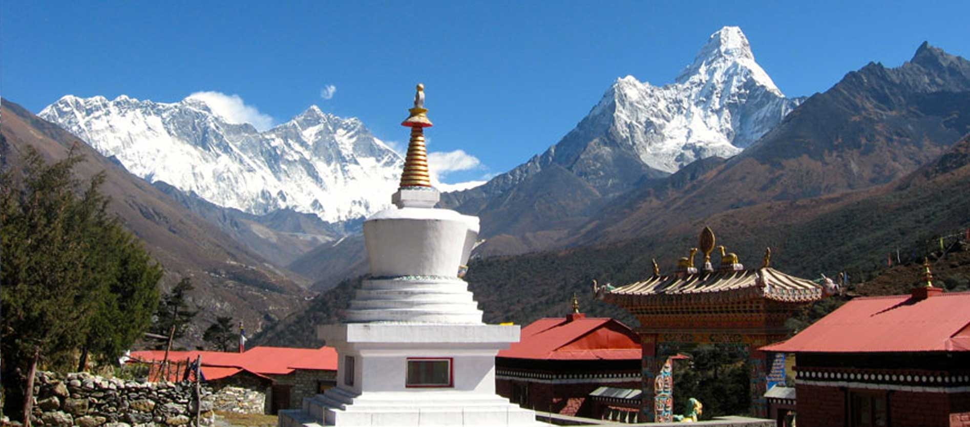
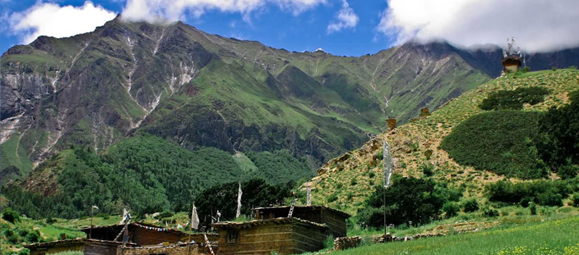
This region is bordered by Tibet and Dhaulagiri from north and south respectively. Leopards, Blue sheep, Himalayan Tahr, Jackal, Himalaya black Bear, Himalayan Mouse Hare, Himalayan Weasel, yellow-throated Marten, Musk Deer, Langur, Rhesus Monkeys and other Himalayan animals can be spotted here. Moreover, the view of Kanjiroba peak, the Dhaulagiri massif and Phoksundo Lake are the major attractions of the Upper Dolpo trekking. The famous Phoksundo Lake which is more than 1500 feet deep is of greenish blue color bordered by dense forest and snow-topped Himalayas
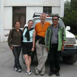
Nepal Tibet Tours & Treks will help you trek in this hidden region assuring your entry permit which is renowned for serene and natural beauty but so far unknown area. The combination of perfect trans-Himalayan culture and Buddhist monuments with natural beauty makes the trek most memorable experience you would ever get.
Trip Itinerary
-
 Day 01Welcome to Kathmandu (1400m.)
After you arrive in Kathmandu, you will be welcomed by our representative at the airport and then you will be transferred to the hotel. You will be briefly described about your tour and check in to the Hotel. Rest of the day is all yours and overnight at hotel.
-
Day 02Kathmandu – Nepalgunj (165m.) (Fly)
You take a flight from Kathmandu to Nepalgunj which lies on the border to India. After you reach at hotel, you can go and visit the Bageshwari Mandir, a temple to tribute to Kali. Also, in Nepalgunj you can go around the bazaar, which has lots of things on sale. Tonight in Nepalgunj.
-
Day 03Nepalgunj – Juphal (2345m.) - Dunai (2050m.) (Fly then Trek)
Today, early in the morning you take the flight to Juphal. As soon as you reach Juphal (2500m.), you begin your short walk from Juphal to Dunai. You walk downward through pastures and pass through a few houses to the tiny hotels at Kala Gaura (2090m.). Then, you go after the river path upstream to Dunai. You set your camp near Dunai and walk around this lively little hill settlement for the rest of the day. Overnight in Dunai.
-
Day 04Dunai – Chepka 6-7 hours, 770m ascent
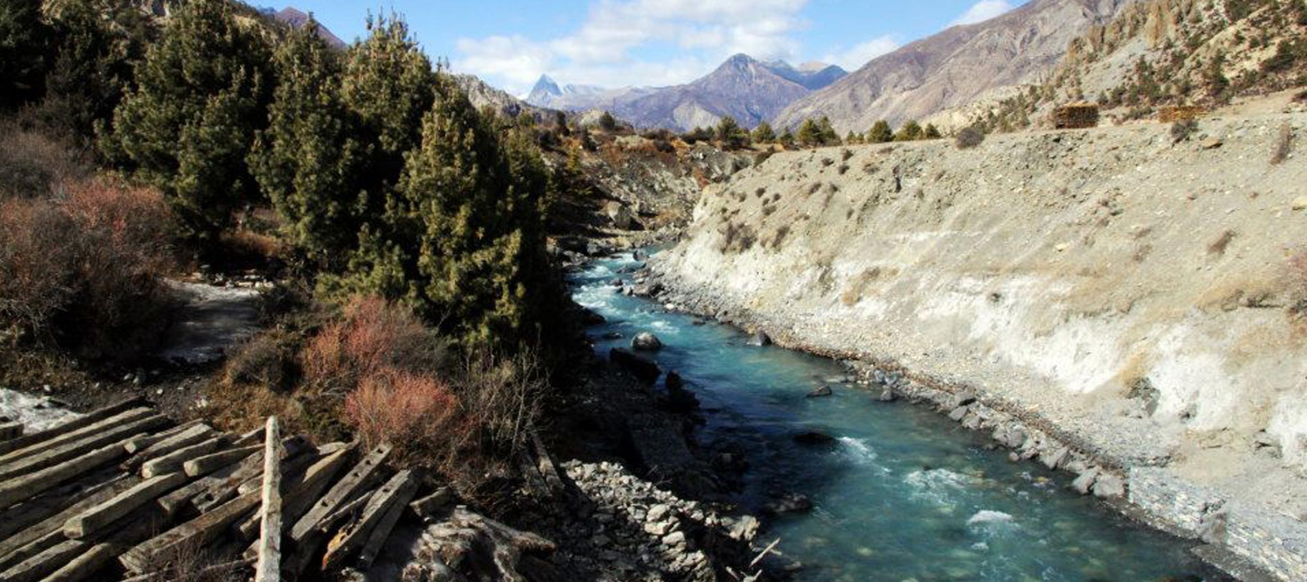
Leaving Dunai you traverse the large steel suspension bridge and move west, passing the trail past the hospital, and after that you walk along the bank of the Thulo Bheri to its union with the Suli Gaad river (2070m.). You follow the path north up to the east shore of the Suli Gaad to a group of teashops in Dunai. After an hour, you reach Kal Rupi and then move to Raktang (2260m.). You come across the west bank and walk passing numerous goths and horses grazing lands over a ridge to the uneven stone houses of Jyalhasa. You cross another bridge to the east bank, and make your way to teashops and cross the Ankhe Khola (2460m.). Also, you walk on the old path which takes you to national park post at Ankhe, and pass through the villages of Pahela and Rahagoan. Now, the path moves to Phoksumdo Lake and you ascend up to 2710m, then you move down on an unsteady path to Chepka (2670m.). You set your camp about 20 minutes ahead of Chepka.
-
Day 05Chepka - Renje 5-6 hours, 500m ascent, 320m descent
You follow the route alongside the river climbing above a small edge then come across the west side to pass up a large crest and go back to the east side again. Along with the river at 2900m, your path moves ahead and makes several ascend and descend through jungles of firs, larches and follows upstream that takes to the village of Renje on the reverse side of the river (3010m.). You camp in Renje today.
-
Day 06Renje - Ringmo 6-7 hours, 880m ascent, 90m descent
You go behind the valley of Suli Gaad, which moves east and turn out to be narrower. You then ascend over a crest and move down to a bridge and continue all along the valley base to the meeting point of the Suli Gaad and the Pungmo Khola. Now, the track leads you to Phoksumdo Lake and Shey gompa which follows the west shore of the river. You go up all the way through a forest of cedar and then reach Palam village (3710m.). The doorway for Shey Phoksumdo National Park lies at the southern part of the village. Here, your entrance permit ticket is checked and then you follow the route which is steep, on a sandy path to an altitude of 3300m, then you begin up one steeper place to a ridge at 3780m. From here you can see a stunning 200m waterfall, highest one in Nepal. The track descends from birch forests to the vividly clear, speeding up waters of the Phoksumdo Khola. After that you go up quietly to Ringmo village, a charming settlement of stone houses with lots of chortens plastered with mud and mani walls. Just beneath Ringmo, you traverse a bridge and go behind a track north to the station at Phoksumdo Lake (3730). You carry on walking to the banks of the lake near the spot where the Phoksumdo River pours out of the lake. We camp in Ringmo tonight.
-
Day 07Rest Day at Ringmo
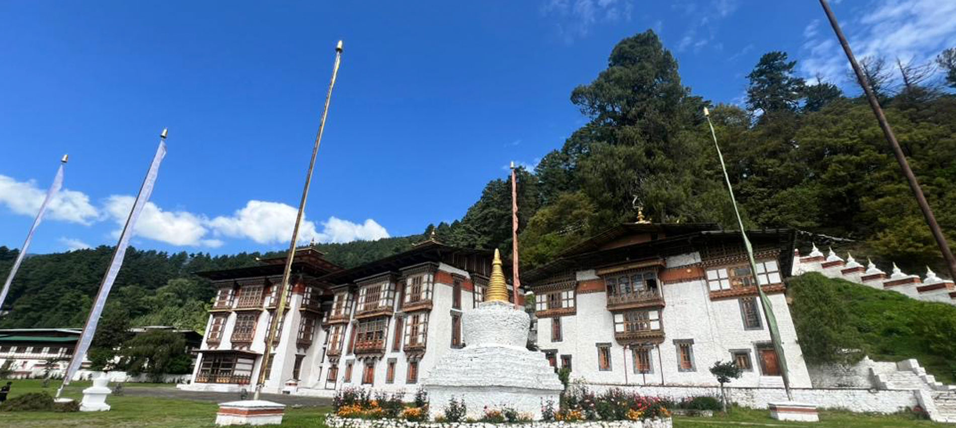
Today you have a rest day. From lakeside, you today might pass through juniper trees and come across the white Pal Sentan Thasoon Chholing gompa, a tumbledown Bon-po monastery built 60 generations before lies above the lake. Also, you will see five other monasteries which indoors Buddhist paintings, statues, but the accessories also mirror the animistic basics of the Bon-po religion.Tonight in Ringmo.
-
Day 08Ringmo – Chunemba 5-6 hours, 570m ascent, 560m descent
Today your route moves on a stony ridge as it go round the western area of the lake. As you traverse a stream, you can see the glacier moving down from the upper incline of Kanjeralwa (6612m.). You then go up to a summit at 4060m for a fabulous sight of the lake with the snow-capped peaks of Sonam Kang in the backdrop. The track moves forward and descends through blue pines, birches to the western edge of the lake where the Phoksumdo Khola lies. The path now moves west up to a long a broad valley. You follow a hazy track through spike bushes and scrub trees, interweaving boggy marshes and branches of Phoksumdo Khola. You set your camp in woods of blue pines at Chunemba (3630m.).
-
Day 09Chunemba - Lar Tsa 4-51/2 hours, 570m ascent, 80m descent
You start the day walking along the path that now moves north all the way through a glacial valley. You then come across to the east shore of Phoksumdo Khola. You continue walking on the main valley for next one hour to reach Kang Gompa. You go up abruptly from Kang Gompa and keep on walking on the grassy edge. You will see amazing peak views with Shey Shikar (6139m.), Kang Chunne (6443m.). You follow a crest at 4200m then the path moves down steadily on a rocky track to Lar Tsa where you set your camp at 4120m.
-
Day 10Lar Tsa - Mendok Din 2-3 hours, 520m ascent, 130m descent
Today, you come across a bridge and go up to the height at 4490m, after that you make your way up a lush ridge to a peak at 4640m. You curve and then go down gently to Mendok Ding. You once more go up next to a river to a camp (4610m.).
-
Day 11Mendok Din - Shey Gompa 7-81/2 hours, 1040m ascent, 1240 descent
You keep on moving that takes you to Phoksumdo Khola, and then you move north to the peak of Riwo Drugdra. You follow the more picturesque pilgrim route across the Sehu La to the west of Crystal Mountain. The Dolma path now turn north in a little while after camp whereas the pilgrim track starts up a vertical slope on the reverse side of a river that pours from the north. Now, the path moves down a slope to a green field besides a river valley and start a sequence of long ups and downs across edges. You now have a rough ascend to a crest (5010m.) and another at 4860m, you start walking down to the Tar valley. Soon you arrive at Tsakang, 800years old gompa that is hanging spectacularly beside a cliff. The final drop on a wide track takes you to a spot where you set your camp at 4310, just beneath Shey gompa.
-
Day 12Rest Day
You have a rest day today. You cross the river on a bridge and go up passing a big chorten and a gigantic ground of mani stones to the Shey gompa area (4390m.). The gompa comprises of an antique Tibetan scroll that explains the fable of Shey gompa and Crystal Mountain. Overnight at Shey Gompa.
-
Day 13Shey Gompa – Namgung 6-71/2 hours, 1029m ascent, 900m descent
Leaving Shey Gompa, you trek east and transverse the 5010m Shey La. Now, you twist north and move down before ascending again to Namgung at 4430m.
-
Day 14Namgung - Karang 5-6 hours, 150m ascent, 530m descent
You pass through the Namgung Kola to reach Karang (4050m.). Then, you descend to Saldang beside the shore of the river. Overnight in Karang.
-
Day 15Karang - Mugaon 6-71/2 hours, 490m ascent, 550m descent
You move down to Torak Sumdo at 3670m, the union of the Namgung and Polang river and then go across the northern shore. You then ascend to Yanger gompa (3750m.) and trek all along the river side valley. You camp alongside the river (4100m.) near to Mugaon.
-
Day 16Mugaon - Shimen 7-81/2 hours, 1040 m ascent, 890m descent
You go up the valley to Mugaon and climb towards the Mushi La at 5030m. Then you descend to Shimen village, you finish your trek today setting your camp above the village (4010m.).
-
Day 17Shimen - Tinje 7-8 hours, 550m ascent, 170m descent
You go down to Shimen village at the height of 3870m and make a extensive trek up to the river through Pha at 4090m to Tinje (4150m.). Overnight at Tinje.
-
Day 18Tinje - Rakpa 7-8 hours ,550m ascent, 170m descent
You trek passing the airstrip on Tinje and walk along a crossroads (4130m.), where a towering path leads you to Tarap. You carry on walking southward to reach to a camp site on the shore of the river at Rakpa (4530m.). Overnight at Rakpa.
-
Day 19Rakpa - Chharka 7-8 hours, 490m ascent, 900m descent
You start your day with a lengthy ascend to the Chharka La at 4920m. You go behind the track downhill and keep on walking down until you reach a side valley at 4290m. You then make an extensive traverse behind the charming village of Chharka on the shore of Barbung Kola (4120m.). Overnight at Chharka.
-
Day 20Chharka - Norbulung 6-7 hours, 820m ascent, 190m descent
You ascend to an edge at 4380m and then move down again to a river today. You go after the right divide southward, ascending along the side valleys on an uneven trail. The gorge narrows, you then come out into a big field and go up to the campsite at Norbulung at 4750m.
-
Day 21Norbulung - Sangda Phedi 7-8 hours, 790m ascent, 440m descent
You start the day ascending to a yak meadow at Molum Sumna (4860m.) then on to a peak at 5130m. After that you make a long walk across pastures to the base of the Sangda La, followed by a long, sheer final ascend to the pass at an elevation of 5460m. You set your camp for overnight stay in Sanga Phedi by a stream at 5100m.
-
Day 22Sangda Phedi - Sangda 7-8 hours, 460m ascent, 1860m descent
You go up to a lower Sangda La (4990m.), after that move down towards the community of Sangda Ghunsa (4190m.). You go down to the Chalung Khola, going across at 3750m, and then go up the opposite bank. You then move to a set of vertical way down to a river at 3580m. You today have one more climb to the condensed settlement, Sangda, where you stay overnight.
-
Day 23Sangda - Dhagarjun 7-8 hours, 970m ascent, 1380m descent
You go up the hill at the back of Sangda and make go across nine ridges to a last peak at 4280m. You then move down into the Kali Gandaki valley, crossing under high cliffs and moving down to the big village of Dhagarjun at 3290m.
-
Day 24Dhagarjun - Jomsom, 3hours, 870m ascent, 690m descent
You climb to a point at 3360m and make a last drop on a difficult track of movable rocks to Jomsom at 2670m.Overnight at Jomsom.
-
Day 25Jomsom – Pokhara
All flights to Pokhara run in morning only since the strong breeze blows in the day making the flights tricky to operate, so you have to get up up early and arrange for flight to Pokhara. Explore Pokhara for the rest of the day. Overnight at Hotel in Pokhara.
-
Day 26Pokhara – Kathmandu
You today take flight from Pokhara, to Kathmandu which takes around 30 minutes. Our representative will wait for you at the Kathmandu airport and transfers you to your hotel. Overnight in Kathmandu.
-
Day 27Kathmandu
Today is free day on your own in Kathmandu. You need have one extra day as reserve since there is a chance of flight cancel and delay. You can go around for sightseeing to major places in Kathmandu if any remaining. Overnight in Kathmandu.
-
Day 28Departure
Our airport representative will take you to the airport for your way back your country.
Trip Note
We can customize this program as per request / as per need, budget, time, etc.
Included/Excluded
- Accommodation as per Different standard of your choice in City and simple lodge or Tented Camp at Trekking.
- English Speaking Trekking Guide & porter.
- All the ground transportation as per Group Size & standard of Tour/Trek starting to end of Tour or Trek.
- Every day 3Meals Trekking portion. (Breakfast, Lunch & Dinner)
- Camping Trek Our Cook prepare & Tea House Trek will provide on local Lodge.
- All fees on Trek.
**Discounts are solely based on your group size. We do not add anyone to your group.
Similar Package

5/5 Reviews
Kathmandu Valley – Day Hiking Tour

5/5 Reviews
Royal Trek

5/5 Reviews